AI in action
Product innovation
Tracing our impact
Marketplace principles
Inside scoop
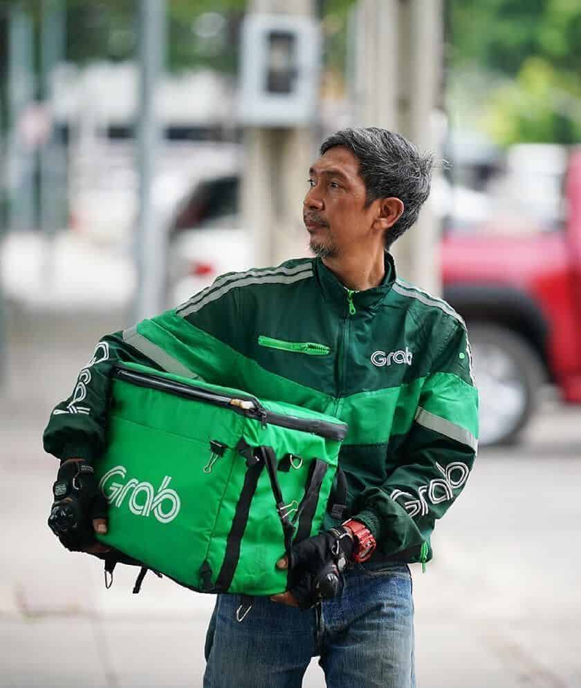
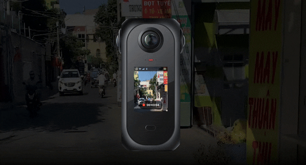
Every second counts: Grab’s vision for a smarter map of Southeast Asia
.
August 22, 2025
.
Regional
About
Consumer
Merchant
Enterprise
Quick Links