AI in action
Product innovation
Tracing our impact
Marketplace principles
Inside scoop
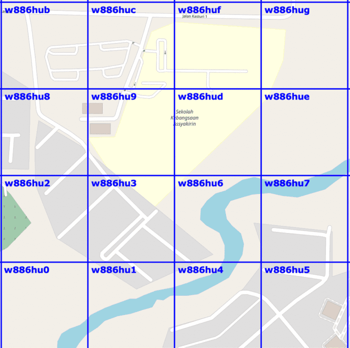
This is how the Grab app knows exactly where users are
.
March 8, 2023
.
Regional
About
Consumer
Merchant
Enterprise
Quick Links